| name | office head of government | Mayor | image | Area (m²) | date founded | Elevation (m) | Country | administrative division | continent | latitude (°) | waterbody | longitude (°) | Website | population (people) | Demonym | Map |
|---|---|---|---|---|---|---|---|---|---|---|---|---|---|---|---|---|
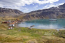
| Grytviken |  | 208 | United Kingdom | South Georgia and the South Sandwich Islands | Europe | -54.2815017700 | -36.5079994202 | website | 20 | Map | ||||||
| Prince Olav Harbour | United Kingdom | South Georgia and the South Sandwich Islands | Europe | -54.0667000000 | -37.1500000000 | website | Map | |||||||||
| Bay of Isles | United Kingdom | South Georgia and the South Sandwich Islands | Europe | -54.0000000000 | -37.4333343506 | website | Map | |||||||||
| Beach Point | United Kingdom | South Georgia and the South Sandwich Islands | Europe | 46.0166664124 | Atlantic Ocean | -62.4833335876 | website | Map | ||||||||
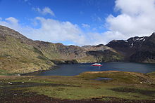
| Godthul |  | United Kingdom | South Georgia and the South Sandwich Islands | Europe | -54.2833328247 | -36.2833328247 | website | Map |