| name | named after | image | city | administrative división | country | continent | Length (m) | Width (m) | place | latitude (°) | longitude (°) | date creation | Map |
|---|---|---|---|---|---|---|---|---|---|---|---|---|---|
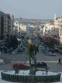
| Kungsportsavenyen |  | Gothenburg | Västra Götaland County | Sweden | Europe | 840 | 40 | 57.6975000000 | 11.9791666667 | Map | |||
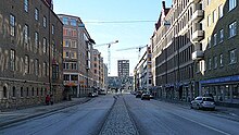
| Karl Johansgatan | Karl XIV Johan |  | Gothenburg | Västra Götaland County | Sweden | Europe | 2,600 | 57.6972444400 | 11.9279777800 | Map | |||
| Luntantugatan |  | Gothenburg | Västra Götaland County | Sweden | Europe | 65 | 57.7026444400 | 11.9585000000 | Map | ||||
| Odinsgatan |  | Gothenburg | Västra Götaland County | Sweden | Europe | 500 | 57.7091166700 | 11.9812666700 | Map | ||||
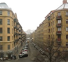
| Olivedalsgatan |  | Gothenburg | Västra Götaland County | Sweden | Europe | 385 | 57.6919250000 | 11.9511305600 | Map |