| construccionMilitars | nombre | luz caracteristica | designación patrimonio | imagen | Forma de torre | Fecha Automatizado | Fecha de finalización | Fecha de apertura | fecha Inicio de construcción | cuerpo de agua | Altura focal (m) | Altura (m) | Fecha retirada | País | continente | latitud (°) | longitud (°) | alcance (m) | Governing_body | división administrativa | ciudad | Mapa |
|---|---|---|---|---|---|---|---|---|---|---|---|---|---|---|---|---|---|---|---|---|---|---|
| Eagle Island Light | Fl W 4s |  | Cónico | 1963 | 1838 | 1858 | 1838 | Bahía de Penobscot | 32 | 9 | 44,2166671753 | -68,7666702271 | 14.484 | Mapa | ||||||||
| Fort Point Light | F W | Registro Nacional de Lugares históricos. | Cuadrado | 1988 | 1836 | 1857 | 1836 | Bahía de Penobscot | 27 | 10 | 44,4666671753 | -68,8000030518 | 24.140 | United States Army Corps of Engineers | Mapa | |||||||
| Goose Rocks Light | Fl W 6s | Registro Nacional de Lugares históricos. |  | Cilíndrico | 1963 | 1890 | 1890 | Bahía de Penobscot | 16 | 16 | 44,1333351135 | -68,8166656494 | 19.312 | Mapa | ||||||||
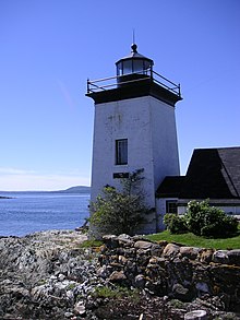
| Grindel Point Light | Fl G 4s | Registro Nacional de Lugares históricos. |  | Cuadrado | 1934 | 1850 | 1874 | 1850 | Bahía de Penobscot | 12 | 12 | 1934 | 44,2666664124 | -68,9333343506 | 6.437 | Mapa | ||||||
| Heron Neck Light | F R avec F W (secteur) | Registro Nacional de Lugares históricos. |  | Cónico | 1982 | 1854 | 1854 | 1854 | Bahía de Penobscot | 28 | 9 | 44,0166664124 | -68,8499984741 | 16.093 | Mapa |